A Community of Geospatial Problem-Solvers
- More than just software
- People + shared workflows & metadata
Community Characteristics
- Rails devs, GIS experts, metadata librarians
- Various scopes: single institution or multi-institution
- Shared OpenGeoMetadata profile
A Brief History
- Began ~10 years ago with dev/metadata collab
- Monthly meetings launched in 2017
- Grown to 13+ known instances
GBL + IIIF
- Initially used mostly for GIS data
- Competing standards (MARC vs. FGDC/ISO)
- Community enhancements for multi-part maps
- Allmaps plugin merges historical maps & GIS
GeoBlacklight is one of the best platforms for unifying discovery of both maps and data.
GeoBlacklight Named Projects
- Codebase (extended from Blacklight)
- Plugins & Docker tools
- Documentation site on GitHub Pages
Community Activity Cycles
- Monthly meetings (updates, shared issues)
- Quarterly GitHub triage
- Biannual sprints (code, docs, metadata)
- Workgroups (governance, usability, georeferencing)
Community Roles
- Moving away from single coordinator
- Administrative, Documentation, Technical
Core Challenges
- Small/niche user base → few active contributors
- Consensus governance → decision uncertainty
- Equity concerns (resource disparities)
Technical Barriers to Adoption
- Tech barriers (Ruby on Rails vs. Python/JS skill sets)
- No built-in repository → extra setup
- GBL not one-size-fits-all → not a fit for all use cases
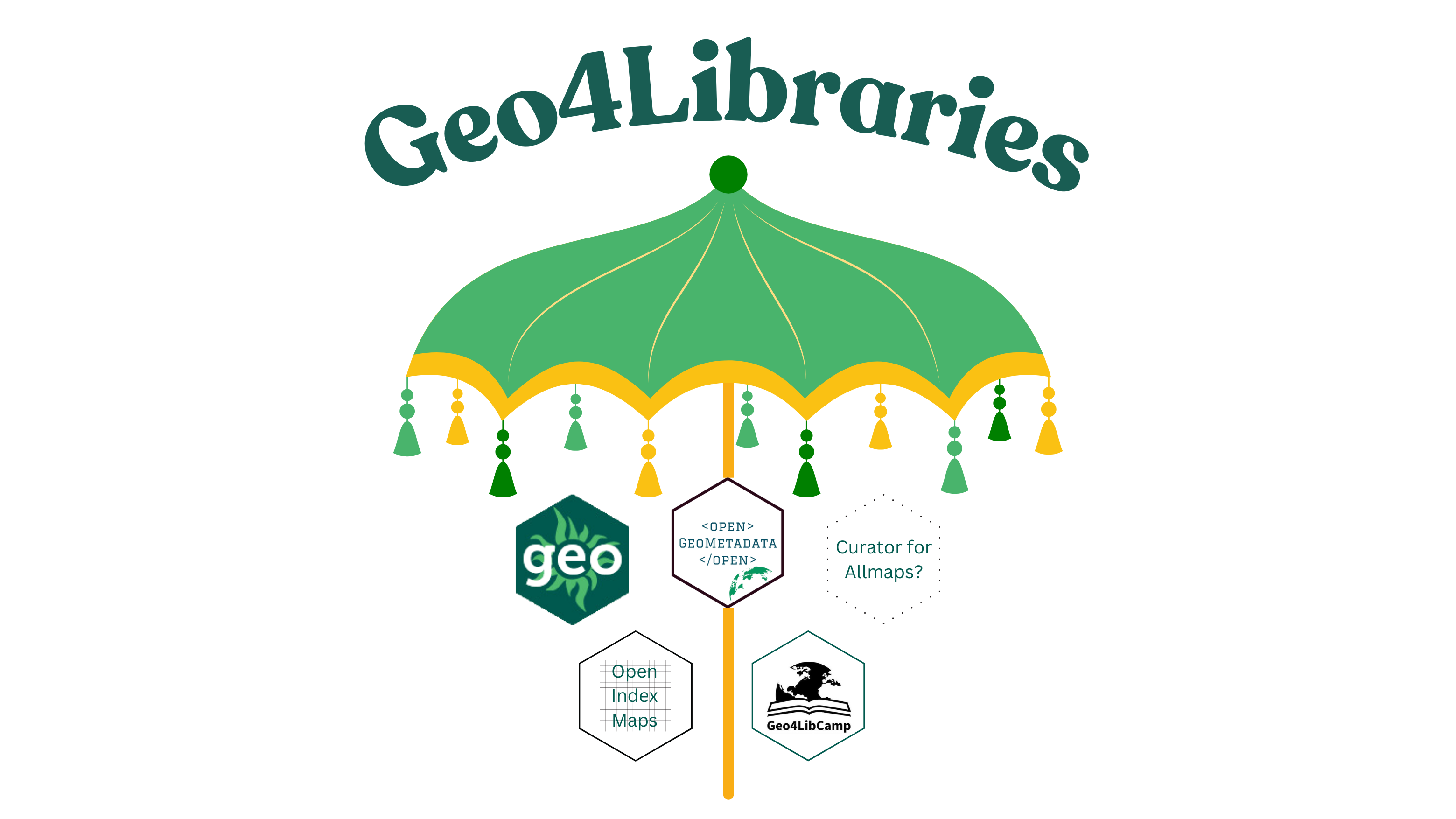
Geo4Libraries Rebrand
- Moving beyond a single software
- Focus on shared needs, metadata, & domains
- Provide a formal “home” for:
- OpenGeoMetadata (Aardvark schema)
- OpenIndexMaps (GeoJSON for index maps)
- Geo4LibCamp (annual unconference)